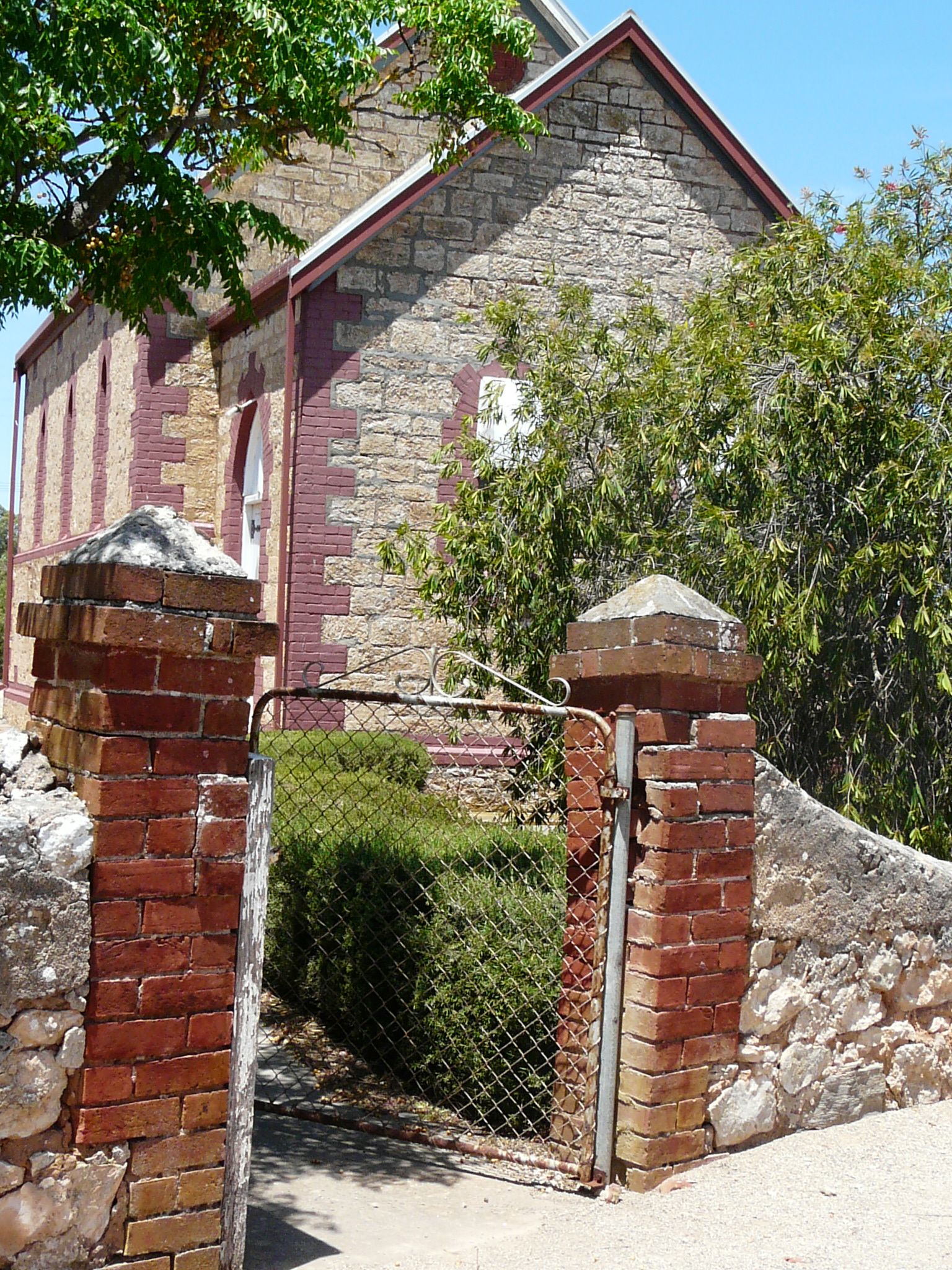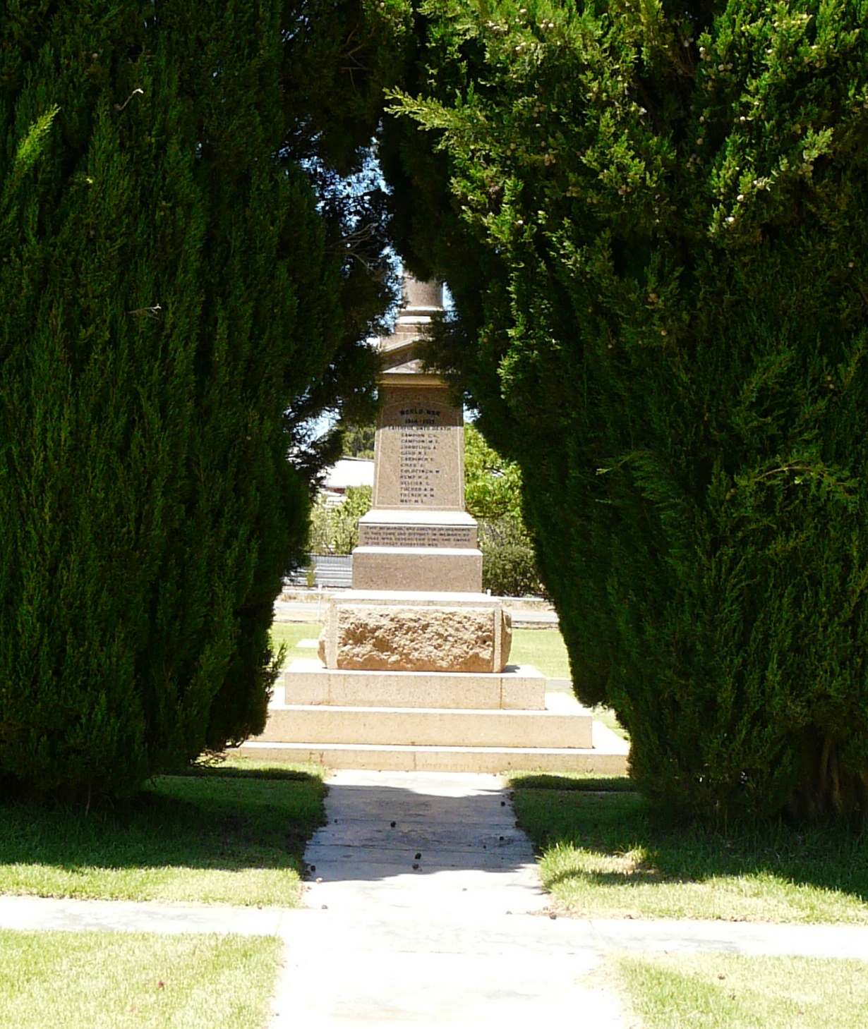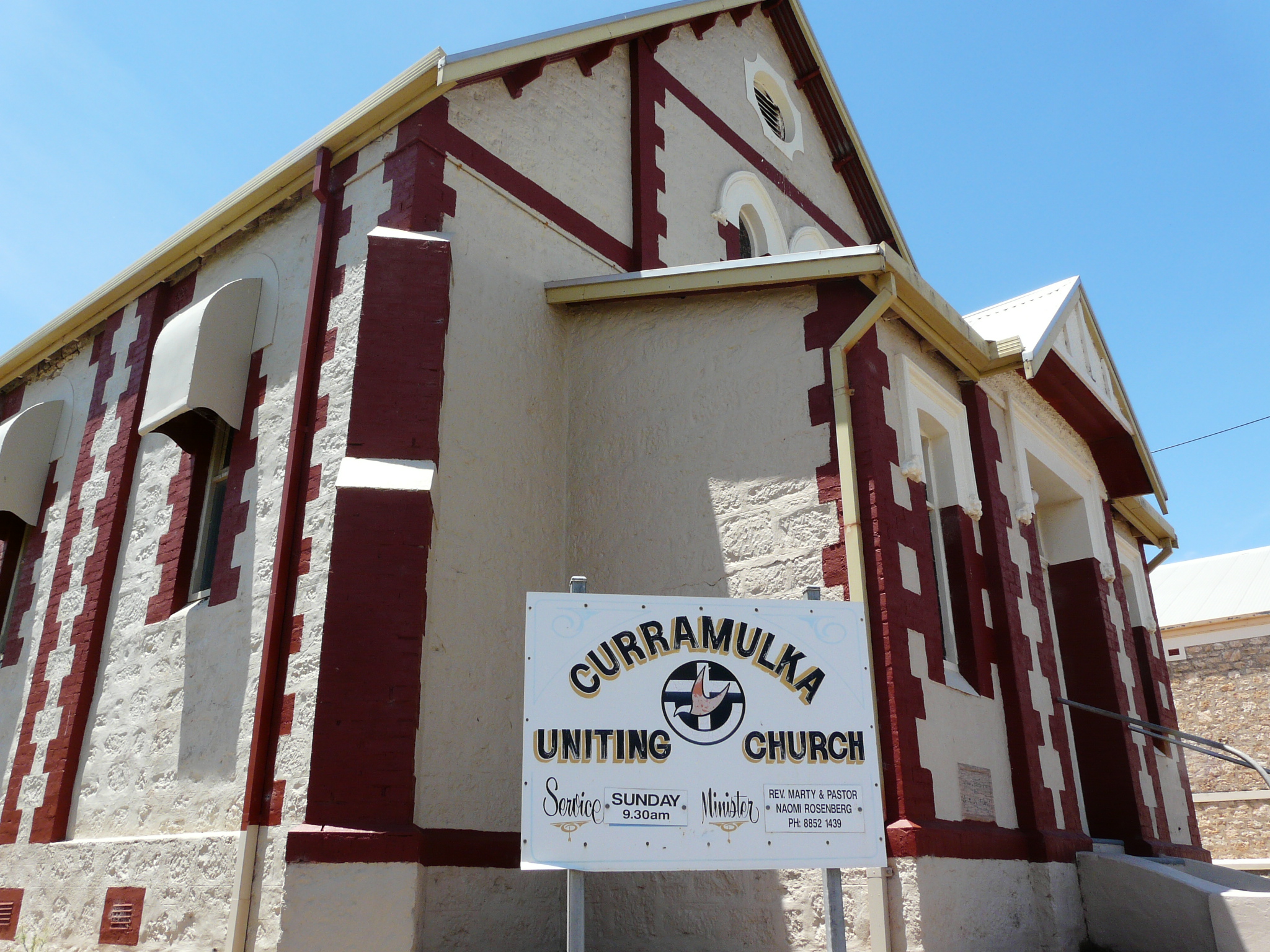

About Curramulka
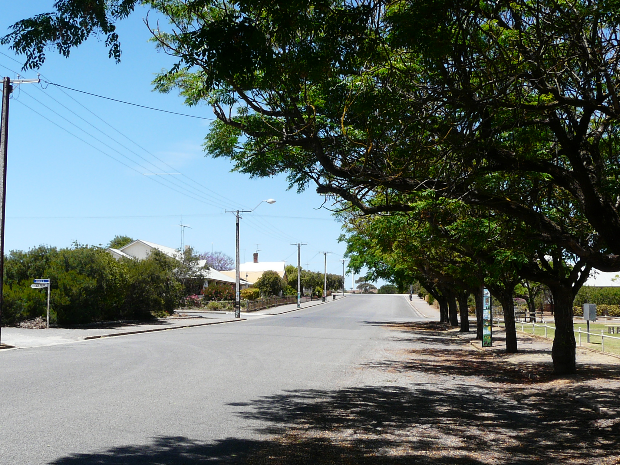
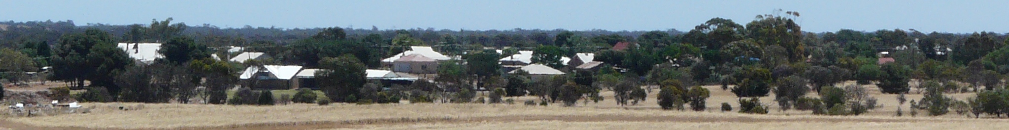
The tiny township of Curramulka is located 186 km west of Adelaide via Highway One and the main coast road along the eastern side of the Yorke Peninsula. It is a tiny township which is successfully fighting against the economic difficulties many rural towns have experienced over the past decade. Curramulka is part of a busy farming community and is steadily growing. This can be seen at the Curramulka Primary school which is currently experiencing a major increase in its student enrolment.
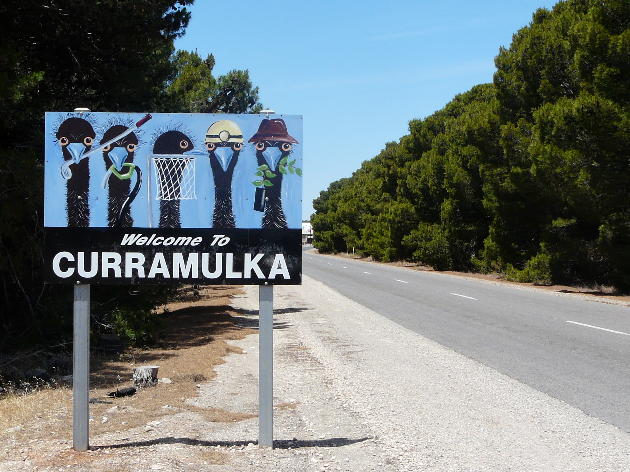
It is said that the town's name was derived from the local Aboriginal words 'gorry' meaning 'emu' and 'moolka' meaning 'stone watering holes'. The stone waterhole is on Mr May's property at the corner of the Mount Rat road, and is about forty to fifty yards from the road. It is a rough square in the limestone rock, and would hold 200 to 300 gallons. This would only contain water after a heavy shower. The description is appropriate and as it refers to small holes (almost saucer-like holes) which fill with water and did allow emus to drink. Governor Jervois chose the word 'curramulka' when he named the area.
There were early runs for farmers and these were opened up and sold to farmers in 1874. The town was gazetted in 1878 and a post office was established in 1885. By 1895 Port Julia was operating as the main port in the area and Curramulka had become an important service centre. This situation changed when Ardrossan, further north, became the main port for the local wheat and sheep industry with bulk grain handling facilities being established in 1952.
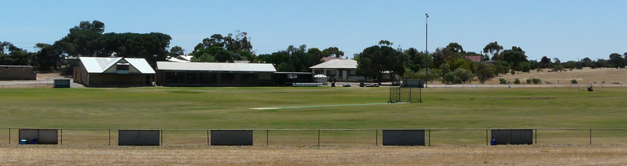
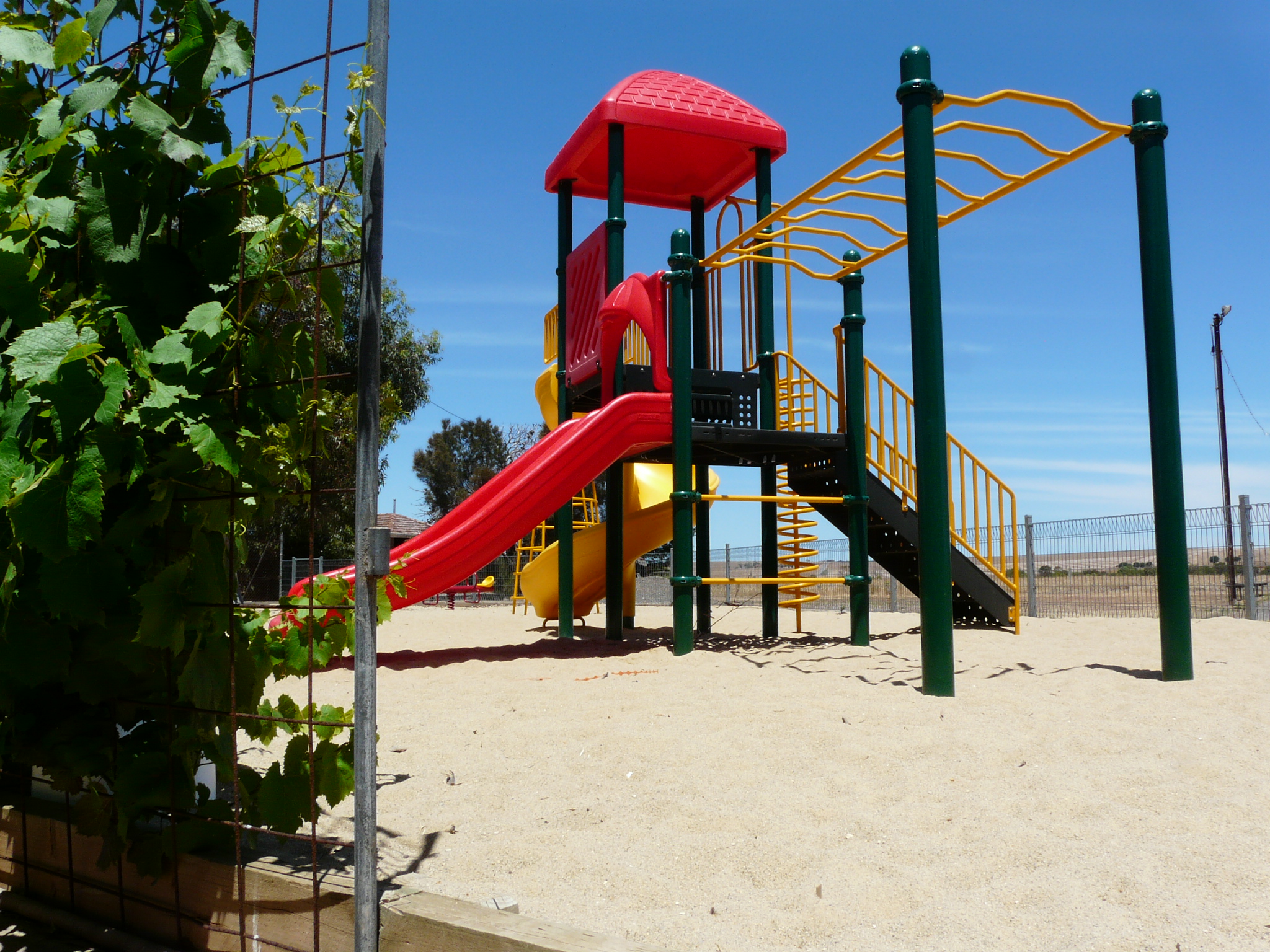
Facilites at Curramulka today include a General Store (including post office), Rural Agencies (with fuel avaliable) and Hotel. The town oval boasts one of the best playing surfaces on Yorke Peninsula. Playground facilites are located adjacent to the local courts complex, along with a public barbeque and an area set aside for camping and caravans - this includes a waste dump point.